GIS Portal • Field Capture • FTTH Inventory
A professional GIS dashboard for NetFiber FTTH operations.
Capture closures and splitters with GPS, scan device labels, track status, and keep your network inventory accurate built for mobile field engineers and office operations.
GPS capture
Lat/Lng + accuracy stored.
Scan labels
Find devices instantly.
Mobile-first
One-hand workflow.
GIS Preview
Map + KPIs + Selected device
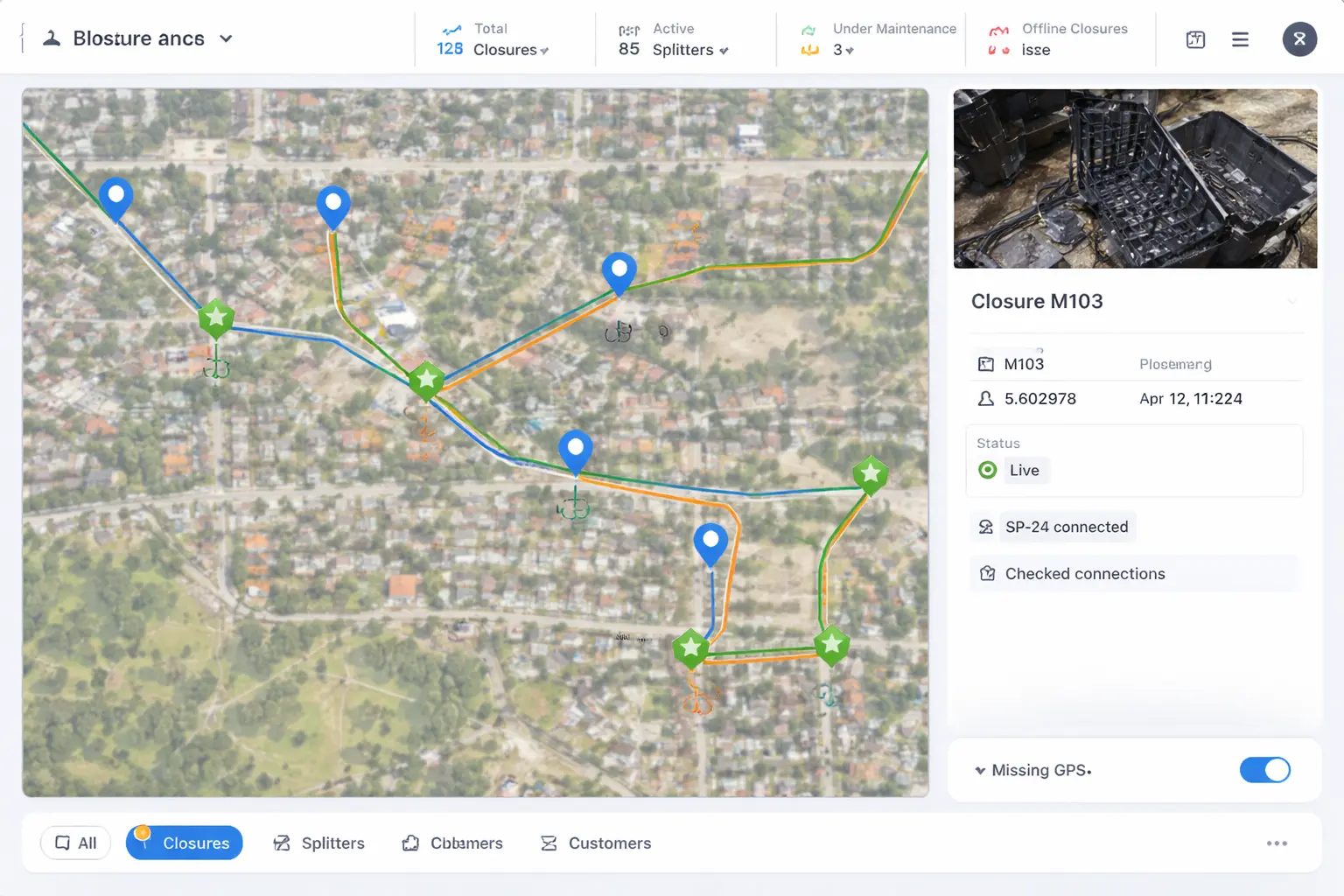
Track
Closures / Splitters
Filter
Missing GPS
Quick access
Closures
Splitters
Customers
Scan
Field capture
Save closures/splitters with GPS + notes.
Operations dashboard
KPIs, recents, and map selection workflow.
Search & filters
Type-to-filter, status, and missing GPS view.